Running projects: Franconian Empire
My current map-project is to make a hex map of central-europe (maybe more?) in 800 AD. That will be Britain and Ireland (with all their kingdoms) and also the Franconian Empire. Right now I have found several resources, but further suggestions are still welcome. You can download the map of Central Europe in high resolution (11MB).
How was this done?
The maps were made with Aklandas Fantasy Simulator, which you can download for free. Have a look at the pdf-"How-To" on how the maps where done! Or view the video "Hexing Britain and Ireland in less than 20 minutes" Other resouces
|
Hex Map Central Europe, 6 miles, 800 AD
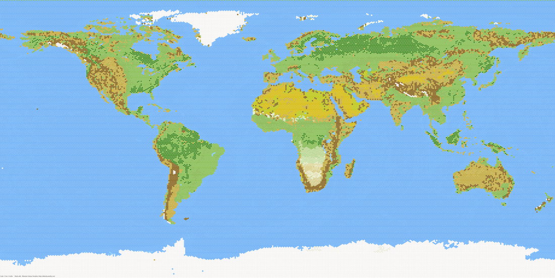
Hex map of the earth (72 miles). Click on the picture to download a higher-resolution (14 MB)!
Attention: This world-map is based on a mercator-projection. This means, it may be misleading in accordance to the area each continent is occupying. This also means, the hexes shown in this map are not all 72-miles hexes. If you want to learn why, have a look at "Why this world map is wrong!"
|

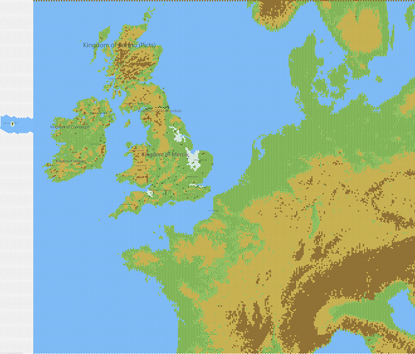
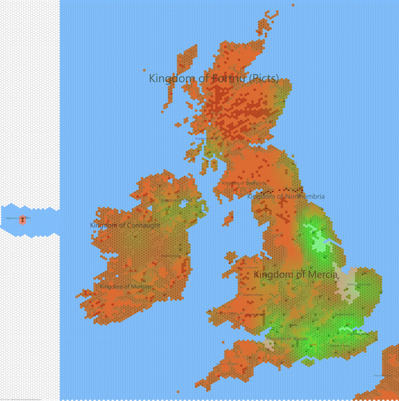
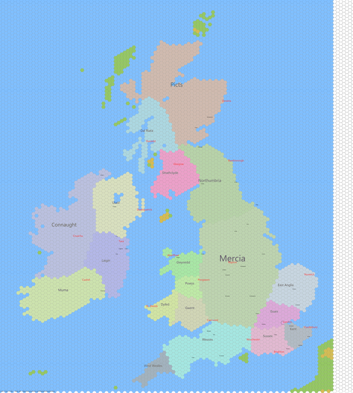
Hex-map (6-miles) Ireland and Britain 800 AD (16MB!)
"Hex-ing" Ireland and Britain
This is an hex-map (6-miles from wall to wall) of Ireland and Britain at the time of 800 AD. The map includes:
|
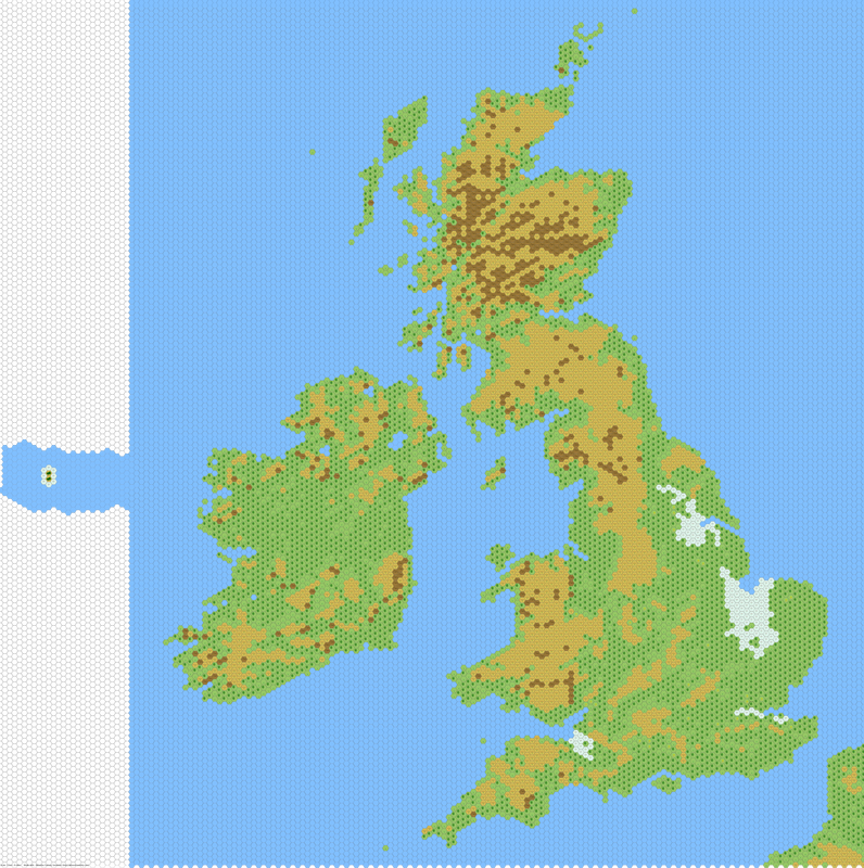
Ireland and Britain, 800 AD
|
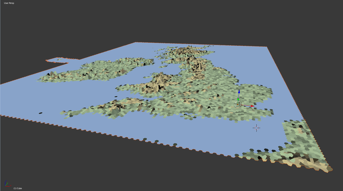
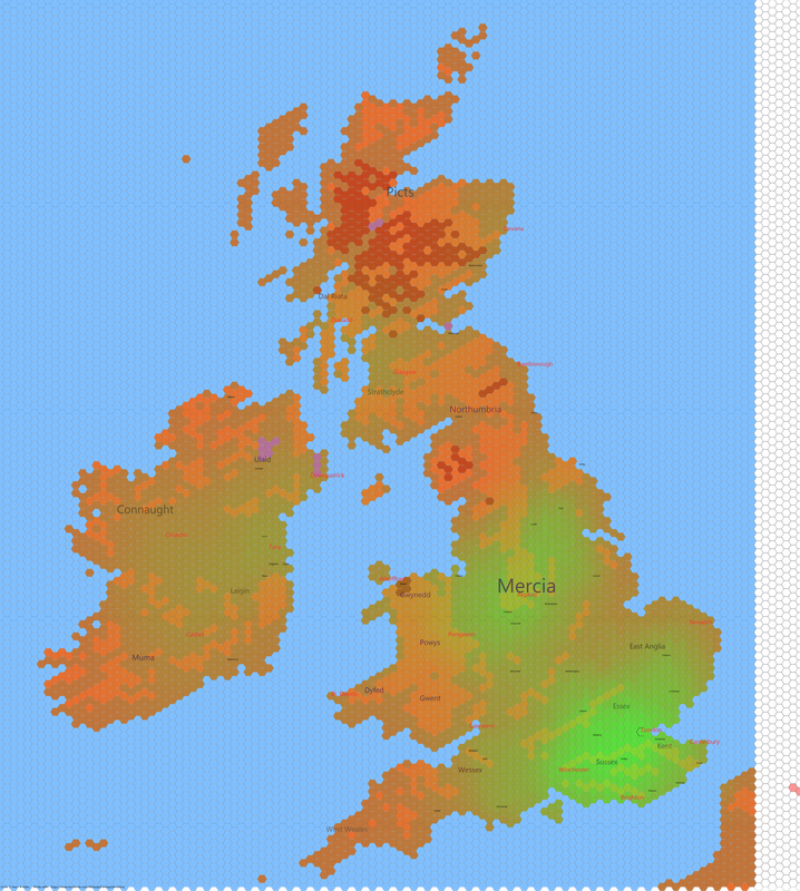
3D-view of hex-map (6-miles)
|
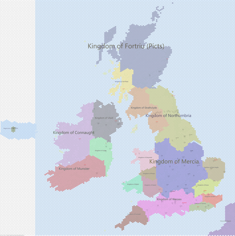
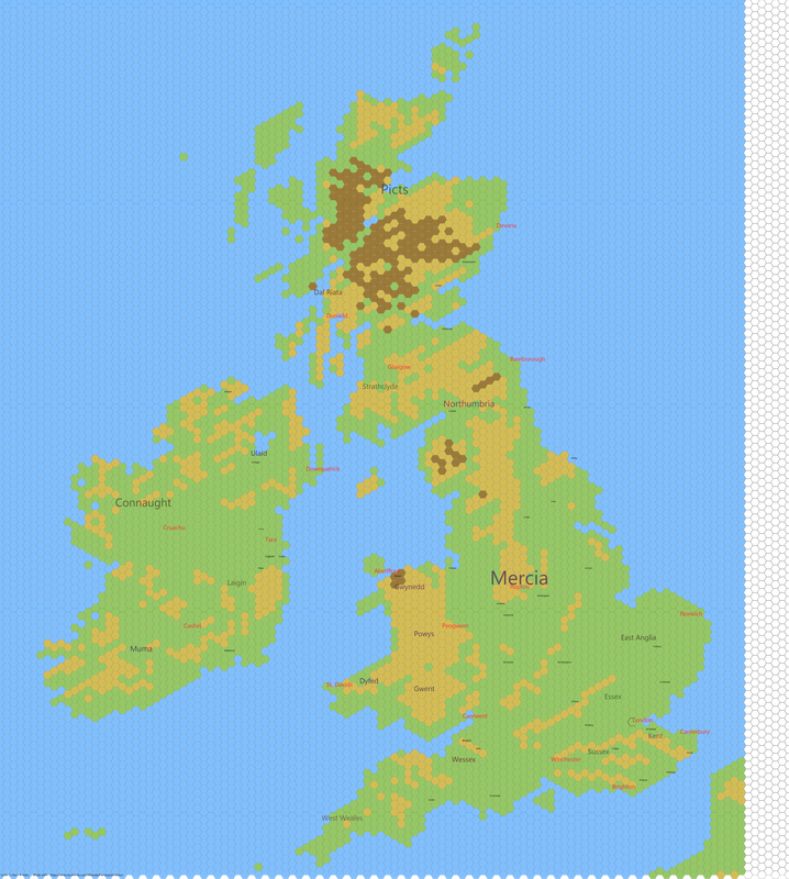
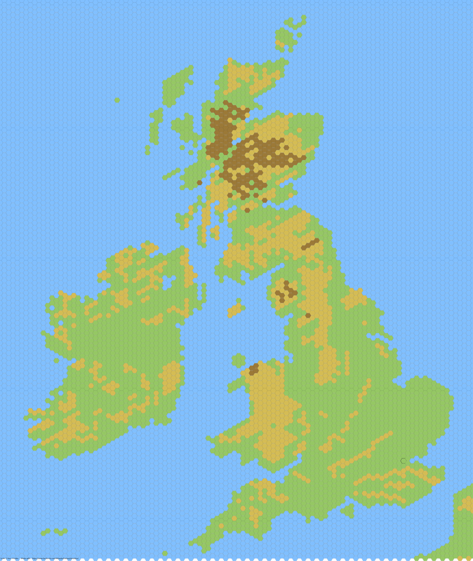
Hex-Map, 8-miles,
with Cities 800 AD
|
Ireland and Britain, 800 AD hex-map 8-miles
|
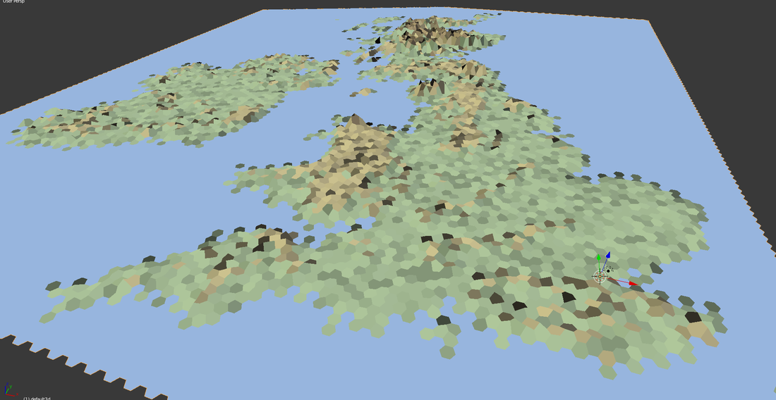
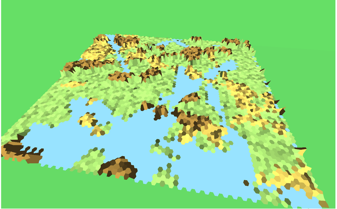
Hex-Map, 8-miles, 3D
|
|
Fantasy-Worlds
Other resources:
|
Tile-Sets and Symbols
|
|
|
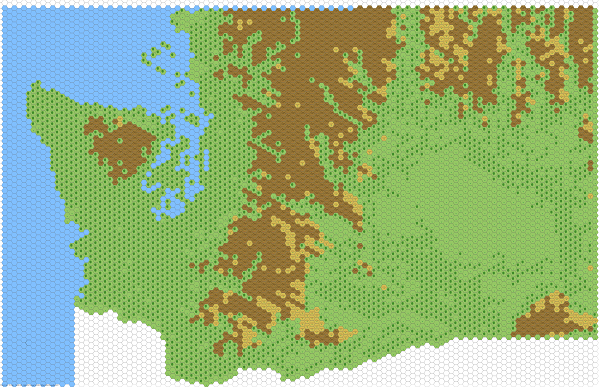
USA, Washington, 6 miles
|
Several
Everything that doesn´t fit in anywhere else and needs to be refurbished
|
